Monday, September 24, 2012

Maps, 1902, 1959, 1973

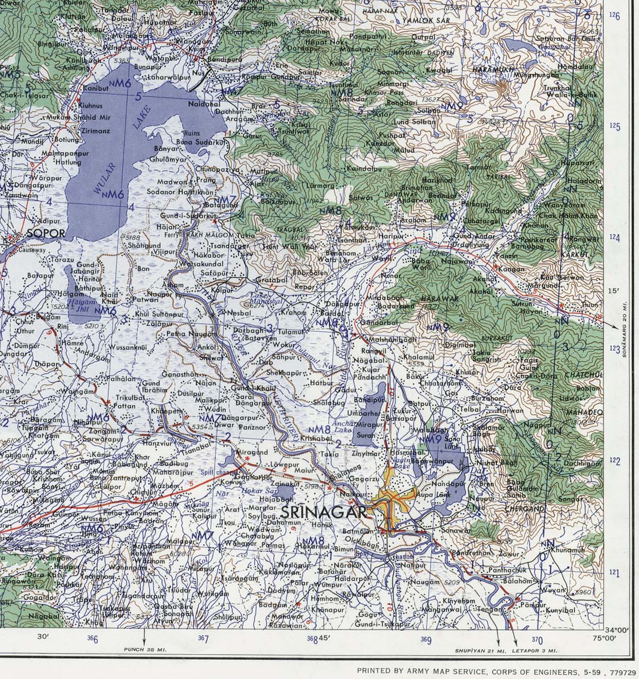
Map of Srinagar and the Adjoining Areas, 1959
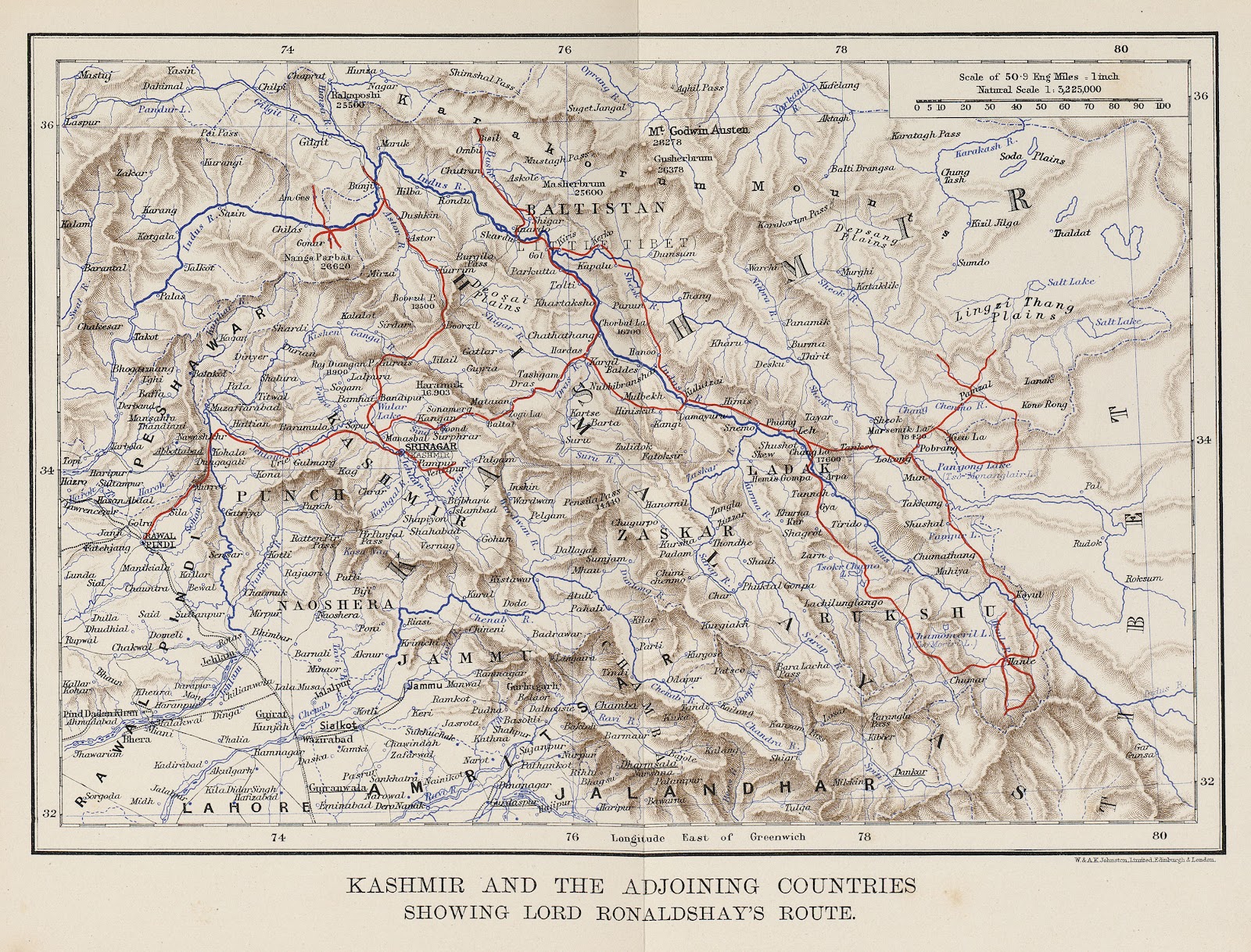
"Kashmir and the Adjoining Countries Showing Lord Ronaldshay's Route" from Sport and Politics Under an Eastern Sky, William Blackwood and Sons, 1902.
Above two are via:  University of Texas
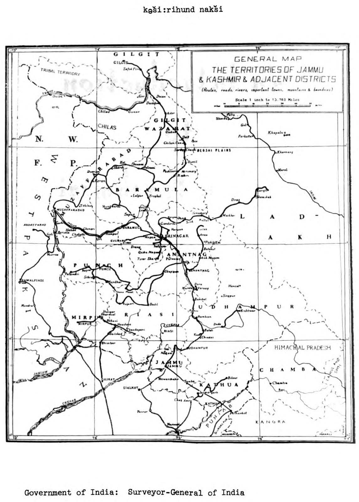
And the below one titled 'Kashir hund Nak'shi', Map of Kashmir,  is from 'An introduction to spoken Kashmiri; a basic course and reference manual for learning and teaching Kashmiri as a second language' by Braj B. Kachru. 1973.
-0-

No comments:

Post a Comment

I always like to hear back.
However, irrelevant comments and irrelevant links will not be published. Needless to say, same goes for abusive comments and spam.

Related Posts with Thumbnails

Content protected by

Creative Commons License
This work is licensed under a Creative Commons Attribution-Share Alike 3.0 Unported License. Which basically means you are free to share anything you may find here. No need to seek permission. Also you are free to re-use it for non-commercial purposes provided you let others use your work for free non-commercial purposes. In case of commercial use, do seek a permission first. In all cases, giving proper credit to the blog/source is the proper thing to do, let other people know where you found it. Do not stifle information.
Flipkart.com